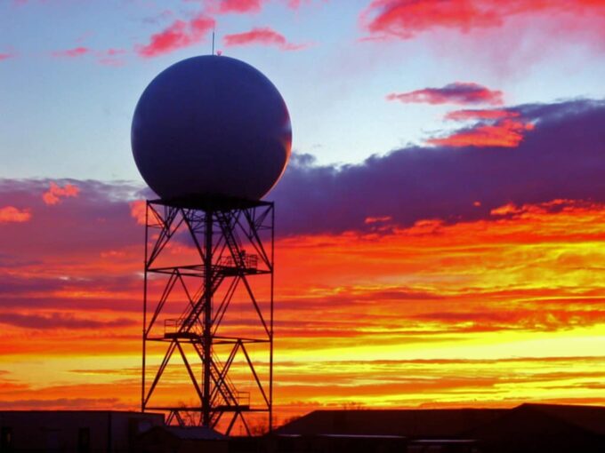
When the heavens open up, and the rain begins to fall, do you ever wonder how meteorologists saw it coming? The answer lies in the marvel of weather radar technology, a blend of science and engineering that allows us to peek into the clouds and predict precipitation. Let’s delve into the science behind the echo, illuminating how weather radars sense and detect precipitation.
Principles of the Technology
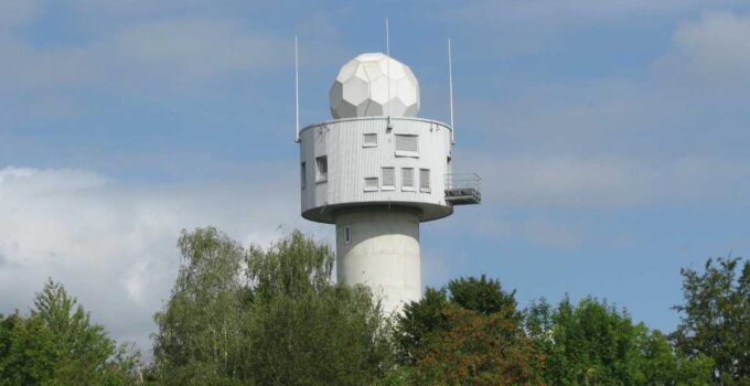
Source: ny1.com
Venturing into our journey, we first unravel the foundation of radar technology. An acronym for Radio Detection and Ranging, the device functions by transmitting radio waves and receiving their reflections, or echoes, from objects. These high-frequency waves illuminate a hidden world, painting a vivid picture of atmospheric conditions. The radar’s ability to gauge distance and speed is based on the time taken for the radio wave to travel to the target and back. This is how weather-radar24.com is able to deliver accurate data live and around the clock.
Plunging further into radar technology, it’s the pulsing nature of the transmissions that enables such precise measurements. Each pulse of radio energy travels at the speed of light until it encounters an object, like a raindrop, which reflects some of the energy back to the radar. By measuring the time elapsed between the transmission and the echo’s return, the distance of the object from the gadget can be calculated.
The Doppler Effect
A critical component of weather radar is the Doppler Effect, named after the physicist Christian Doppler. This principle refers to the change in frequency of a wave in relation to an observer moving relative to the source of the wave. When a raindrop is moving towards or away from the radar, the frequency of the returned signal will be slightly altered, providing meteorologists with vital information about the velocity of precipitation.
Delving into the specifics, radars utilize the Doppler Effect to differentiate between inbound and outbound motion within a weather system. Consequently, they can detect the speed and direction of wind and precipitation particles. This knowledge is integral in identifying and tracking storm systems, thus enabling accurate weather forecasts.
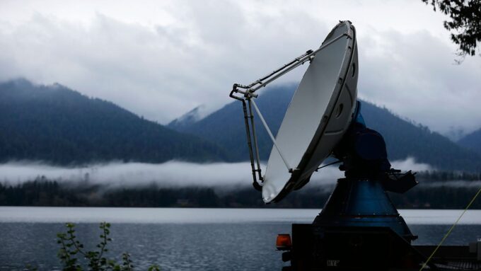
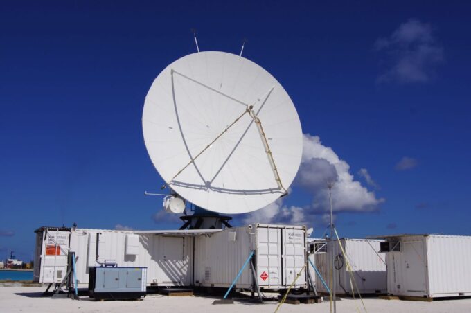
Radar Beam and Scanning Techniques
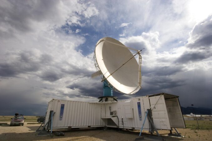
Source: arstechnica.com
Peering into the scanning techniques, weather radars use a narrow, focused beam of radio waves that they systematically scan across the atmosphere. To capture a comprehensive picture of the weather, they rotate 360 degrees horizontally and tilt upwards in a pattern, building up a three-dimensional ‘volume scan’ of the atmosphere.
Though the procedure appears straightforward, it’s anything but. Precision is crucial, and the radar adjusts the rotation speed and tilt angles based on atmospheric conditions. The details of this process, such as the width of the beam and the spacing between successive pulses, can significantly affect the quality of the data collected.
Reflectivity and Attenuation of Signals
Radar signals undergo two important phenomena upon encountering precipitation – reflectivity and attenuation. Reflectivity refers to the fraction of the radar signal that bounces back toward the radar, revealing the presence and intensity of precipitation. Higher reflectivity indicates denser precipitation, like heavy rain or hail.
The signal’s path back may be hindered by attenuation – a decrease in signal strength caused by scattering and absorption by precipitation. The denser the precipitation, the greater the attenuation. Therefore, meteorologists must account for attenuation when interpreting radar data to ensure accurate precipitation estimates.
Echoes and Precipitation Detection
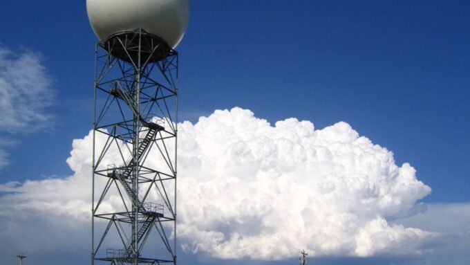
Source: wtoc.com
Unfolding the mystery of precipitation detection, it’s the radar echoes that play the pivotal role. When the transmitted radar signal encounters a raindrop, it gets reflected back to the radar, forming an echo. The strength and frequency of these echoes give meteorologists a snapshot of the type and intensity of the precipitation.
Each type of precipitation – from drizzle to thunderstorm hail – generates a distinct echo signature, enabling it to distinguish between them. The radar measures the delay between the transmission and reception of these echoes, which translates into the distance to the precipitation, painting a dynamic picture of atmospheric conditions.
Types of Precipitation Detected
It’s fascinating to learn the diversity of precipitation that weather radars can identify. They detect rain, snow, sleet, and hail, providing meteorologists with a detailed analysis of the ongoing weather pattern. Rain is the easiest to detect due to its high reflectivity, but they are even capable of identifying different intensities of rain.
Equally captivating is the radar’s ability to discern between frozen and liquid precipitation. Snow, sleet, and hail each produce unique echo signatures. Understanding these variations allows meteorologists to forecast specific weather events accurately and warn the public about potentially hazardous conditions.
Raindrop Size Distribution and Measurements
Source: washingtonpost.com
Pioneering into the subtleties of radar measurements, it is vital to understand the concept of raindrop size distribution. Simply put, it’s the variation in the sizes of raindrops within a cloud or a rain shaft. The diversity in size influences the reflectivity of the signal, thus affecting the radar’s precipitation estimates.
Smaller raindrops cause less reflectivity and attenuation than larger ones. However, as the number of small raindrops often exceeds the larger ones, their collective effect can be significant. By analyzing this complex relationship, meteorologists can refine their interpretation of radar data, improving the accuracy of precipitation detection.
Dual-Polarization and Precipitation Classification
Our exploration concludes with dual-polarization radar, the state-of-the-art in weather radar technology. Traditional radars emit pulses with a single orientation – horizontally polarized. However, dual-polarization models emit and receive both horizontally and vertically polarized pulses. This dual approach provides much richer information about precipitation.
This advancement has revolutionized precipitation classification. It enables the radar to detect the shape and size of raindrops more accurately, which aids in distinguishing between different types of precipitation. It further improves the accuracy of precipitation estimates and enhances our understanding of weather patterns.
Final Thoughts
Source: eol.ucar.edu
From the principles of radar technology to cutting-edge dual-polarization, we’ve journeyed through the captivating science behind them. This marvel of technology, born from a fusion of physics and engineering, has significantly improved our ability to predict and understand weather patterns. Whether it’s a light drizzle or a violent storm, the echoes returning to it tell a tale of the skies, helping us prepare for what the weather has in store. In our age of increasing weather unpredictability, these technologies play an ever more critical role in keeping us safe and informed.


